Jongdari: The Tropical Storm That Will Just Wave Hello to Taiwan!
Overview
- Tropical Storm Jongdari emerges in the northwestern Pacific, with limited impact on Taiwan.
- CWA warns of heavy rains in some areas despite storm's northward path.
- Residents urged to prepare for high tides and potential localized flooding.

Formation and Path of Jongdari
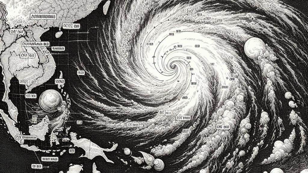
Tropical Storm Jongdari formed on August 19, 2024, as a low-pressure system in the northwestern Pacific Ocean. The storm is located approximately 450 kilometers east of Taipei, Taiwan, and is categorized as the ninth tropical storm of the year in this region. The Central Weather Administration (CWA) reports that Jongdari features maximum sustained winds of 65 kilometers per hour and gusts that could reach up to 90 kilometers per hour. However, forecasters indicate that the storm is expected to drift northward towards the East China Sea and South Korea, reducing the likelihood of direct effects on Taiwan's weather. Instead, the island will primarily feel the consequences of its surrounding atmospheric changes.
Anticipated Rainfall and Weather Changes
Although Jongdari is not projected to strike Taiwan directly, the storm's presence is likely to intensify the seasonal southwesterly winds, leading to increased rainfall across the island. Starting Tuesday, the CWA has predicted heavy rain, particularly affecting central and southern Taiwan, with the possibility of extending to Yunlin County. Brief but heavy thunderstorms may also occur in northern areas as atmospheric conditions shift. The interaction between Jongdari’s winds and Taiwan’s topography may result in localized flooding, making it vital for residents to remain cautious and vigilant during this weather shift.
Essential Precautions for Coastal Residents
In light of the expected weather changes, the CWA has issued warnings about exceptionally high tides from August 19 to 23, urging residents in low-lying coastal areas, especially from New Taipei to Chiayi County, to be prepared for potential seawater intrusions. Community members should stay informed about the storm’s developments and monitor local weather updates closely. With daytime temperatures fluctuating between 29 and 33 degrees Celsius, the combination of heat, increased humidity, and storm-induced rainfall underscores the need for awareness. Preparing for unpredictable changes is crucial, as rapid weather shifts can lead to unsafe situations in flood-prone regions.

Loading...